





Hurricane Isaias Becomes the First Hurricane of 2026 and Takes Aim at the Gulf Coast
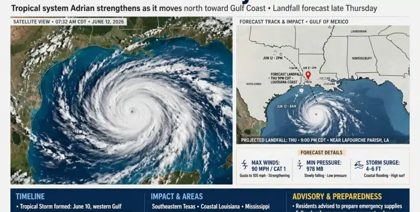
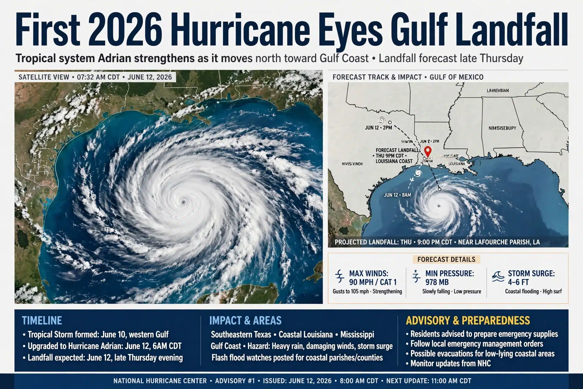
A storm that did not exist at the start of the week is now the first hurricane of the 2026 Atlantic season and the biggest weather story in the country. Isaias strengthened in the warm waters of the central Gulf on October 7 and 8, and the National Hurricane Center says it will reach the northern Gulf Coast late Friday night or early Saturday, potentially as a Category 2 hurricane, with storm surge, damaging wind, flooding rain and tornadoes stacked along a shoreline that runs from Louisiana to Florida.
As of the latest advisories, Isaias sat more than 400 miles south-southwest of New Orleans, moving east-northeast before an expected turn northward toward the coast. Hurricane and tropical storm watches were upgraded to warnings across the Gulf Coast, meaning the certainty of impacts has risen sharply, and Florida declared a state of emergency covering 25 counties. Forecasters expect rapid strengthening through Thursday night over Gulf water temperatures well into the 80s, followed by wind shear that could knock some intensity back before the center comes ashore.
From Tropical Disturbance to First Hurricane of the Season
Isaias organized out of a tropical disturbance over the southwestern Gulf, becoming a tropical storm on October 6 and strengthening into a hurricane a day later. Reaching that status in October makes this the first Atlantic hurricane of 2026, a remarkable label for a season that has been one of the quietest on record. A strong El Nino has shredded several systems before they could form and weakened others soon after, but three smaller storms still managed to touch the Gulf states: Tropical Storm Arthur brought a historic 37.53 inches of rain to Alexandria, Louisiana, in June, Bertha soaked the Mississippi coast in July, and Edouard came ashore on September 1 with 60-mph winds.
The name Isaias itself carries history. It replaced Ike on the rotating name lists after the deadly 2008 hurricane was retired, sat unused in 2014, and was used in 2020 for a storm that raced up the East Coast with destructive winds. Pronounced ees-ah-EE-ahs, it now becomes the first name on this season’s list to reach hurricane strength, and forecasters say all a quiet season needs is one window of low wind shear, which is exactly what Isaias found over the Gulf.
The Track and the Landfall Window
The most likely landfall zone stretches from the western Florida Panhandle to the Mississippi Gulf Coast, with the center expected to come ashore late Friday or early Saturday morning. Models agree on the general path: a northeastward run through Thursday, then a faster curve north into the coast, followed by an inland march across the Southeast through the weekend. The areas most at risk sit along and east of the track, where the storm’s moisture and right-side wind field pile up.
Intensity is the open question. Isaias is forecast to reach at least Category 2 strength, around 110-mph winds, by Thursday night in the central Gulf, helped by Gulf waters in the 80s and a moist air mass. But a sagging jet stream is pushing wind shear into the northern Gulf, and shear is hostile to tropical systems, so the most likely intensity at landfall is a Category 2, with some models trending a little stronger and a little weaker. Hurricane-force wind gusts are possible from coastal Mississippi and Alabama into the Florida Panhandle, arriving as early as midday Friday.
Warnings, Surge, Rain and Tornadoes
The warning map is already crowded. A hurricane warning runs from Ocean Springs, Mississippi, to the Bay and Gulf County line in Florida, with tropical storm warnings extending west to the New Orleans area and east toward the Aucilla River in Florida, plus inland warnings for southern Alabama. A storm surge warning covers the mouth of the Mississippi River to Steinhatchee, Florida, with a surge watch reaching Yankeetown. Those numbers represent how much normally dry ground could be flooded if peak surge arrives at high tide.
Rainfall is the threat that will travel farthest. Isaias could drop as much as 10 inches in isolated spots along the Gulf Coast, with most areas picking up 3 to 7 inches, before the remnant pushes inland over the Appalachians, the Ohio Valley and the mid-Atlantic through the weekend. Tornadoes are typical in the outer rainbands of landfalling hurricanes, and the risk extends from Friday into Saturday across the Southeast. Power outages lasting hours to several days are expected wherever the strongest winds cross populated corridors.
How the Coast Is Preparing
Officials from southeast Louisiana to Florida are urging residents to know their evacuation zone and route before the wind arrives, to restock supplies, and to plan for multi-day outages. Florida’s emergency declaration covers 25 counties and mobilizes state resources ahead of the storm. FEMA and local agencies have pre-positioned crews, utilities have moved linemen into the region, and forecasters are repeating the standard rules: do not drive through flooded roads, keep generators outside and away from windows, and follow local evacuation orders rather than waiting to see the storm.
Inland residents are not off the hook. The same moisture feeding the Gulf Coast will stream north and east, setting up flash flooding across mountain counties and the interior mid-Atlantic, where autumn foliage and outdoor events increase the number of people caught outside. Emergency managers note that the inland half of a tropical system often delivers more rainfall than the coast, and the weekend forecast builds in exactly that scenario.
Why This Storm Matters After a Quiet Season
A late-season first hurricane is a reminder that the calendar does not end the threat. Atlantic hurricane season runs through November 30, and warm Gulf water in October is exactly the fuel that turns a modest storm into a fast riser, a pattern forecasters call rapid intensification. With Isaias, the 2026 season has its first genuine U.S. hurricane threat, and the entire northern Gulf Coast has roughly 48 hours to get ready.
Forecast updates will continue through the day, and the track can still shift by dozens of miles, which is why officials ask residents from Louisiana to Florida to monitor the National Hurricane Center directly rather than relying on any single model run. The window for preparation closes when the outer bands arrive Friday morning.
Frequently Asked Questions
When will Hurricane Isaias make landfall?
The National Hurricane Center forecasts landfall late Friday night or early Saturday morning along the northern Gulf Coast, most likely between the western Florida Panhandle and the Mississippi Gulf Coast.
How strong is Hurricane Isaias expected to be?
Isaias is forecast to reach at least Category 2 strength with winds near 110 mph in the central Gulf, and the most likely intensity at landfall is a Category 2, though wind shear could weaken it before arrival.
Which areas are under hurricane warnings?
A hurricane warning runs from Ocean Springs, Mississippi, to the Bay and Gulf County line in Florida, with tropical storm warnings from the New Orleans area eastward and surge warnings from the Mississippi River mouth to Steinhatchee, Florida.
How much rain will Isaias bring?
Isolated totals up to 10 inches are possible along the Gulf Coast, with most coastal areas seeing 3 to 7 inches, followed by inland flash flooding risks across the Southeast, Appalachians, Ohio Valley and mid-Atlantic.