





Nor’easter Triggers State of Emergency Across New York and New Jersey as Millions Brace for Flooding and Power Outages
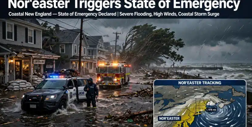
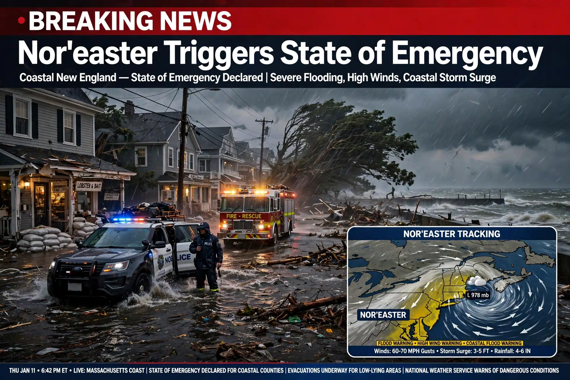
A powerful nor’easter intensified Friday as it barreled toward New England, putting tens of millions of people in its path and prompting the governors of New York and New Jersey to declare states of emergency ahead of the worst of the storm. Forecasters warn of dangerous coastal flooding, wind gusts approaching 65 mph, travel chaos and widespread power outages stretching from the Jersey Shore to Cape Cod, with the nor’easter state of emergency declarations covering some of the most densely populated coastlines in the country.
The storm was already chewing up the Mid-Atlantic coast on Friday, with street flooding reported in shore towns, beach erosion along Ocean Island and New Jersey and rough seas closing in on Long Island. The heaviest rain and strongest winds are expected from Friday night into Saturday before the system weakens later in the weekend. Here is what has happened so far, what forecasters expect next and how residents can protect themselves.
Nor’easter State of Emergency Declarations Cover Millions
Governors Kathy Hochul of New York and Mikie Sherrill of New Jersey declared states of emergency as the storm approached, activating emergency operations, National Guard resources and road closures before the first major bands arrived. New Jersey’s order covers all 21 counties and took effect Thursday night, while a separate state of emergency was declared for Long Island, where crews built walls of sand along beaches to hold back the rising tide. Officials urged residents to stay off roads, charge phones and backup batteries and avoid oceanfront areas during peak tide cycles.
Local governments moved faster still. A voluntary evacuation was issued for low-lying areas of Manasquan, New Jersey, and towns along the shore opened recreation centers for residents who wanted to move to higher ground. In Ship Bottom, roads were already submerged as the tide came in, and in Sea Bright, homeowners sandbagged doorways while the borough’s mayor warned residents that water could reach up to six feet on some streets.
Forecast Timeline: When the Worst Hits
The heaviest rain is expected to track from coastal New Jersey through Long Island, Rhode Island and eastern Massachusetts, according to Brian Hurley, a senior national forecaster with the National Weather Service Weather Prediction Center. Dangerous flooding was expected along the Mid-Atlantic coast beginning Friday and worsening into Saturday, with the storm easing later that day. Tens of millions of people sit in the storm’s path, and multiple outdoor events along the coast were canceled in advance.
Wind will be a major factor. Peak gusts could reach 60 to 65 mph on Cape Cod, Martha’s Vineyard and Nantucket Friday night into Saturday, with 50 to 55 mph gusts around Boston and 35 to 40 mph farther inland, said Matthew Belk, a meteorologist with the Weather Service in Norton, Massachusetts. The closer to the coast, the worse the impacts, forecasters said, with surge-driven flooding layered on top of heavy rainfall.
Coastal Flooding Could Reach Irene-Scale Levels
Sea Bright Mayor Brian Kelly said the borough was bracing for winds up to 50 mph and flooding that could reach six feet on some streets, with water expected to arrive Saturday and worsen by midday. He compared the event to 2011’s Hurricane Irene, which caused major flooding across the Northeast. “It’s going to be worse than average,” Kelly said, adding that hundreds of residents in low-lying areas should seriously consider leaving. “A lot of the homes are elevated, but people can get trapped in their house temporarily.”
That comparison matters because some protections are weaker than they were a decade ago. Along the South Shore of Massachusetts, towns like Scituate and Cohasset rely on seawalls, and some of those walls sit mid-repair or have seen projects stall amid federal funding cuts. Waves crashing over unfinished barriers could push ocean water directly into streets and homes, residents told CBS News.
Power Outages and Travel Disruptions Build
Power companies across New York, New Jersey and Connecticut reported tens of thousands of customers without power as the storm’s first bands moved in, and utilities staged crews ahead of the peak. Downed trees and flying debris are expected to drive the bulk of outages Saturday. Airlines waived change fees for coastal airports, and ferry service along the shore was suspended as seas built. On Cape Cod and the islands, residents were encouraged to reach the mainland before conditions deteriorated.
Transit agencies warned of slowdowns and cancellations. Coastal rail lines face flooding risk, and bridges and tunnels could close in gusty conditions. Boston Mayor Michelle Wu asked residents to take extra precautions and plan ahead, while harbors from Plymouth to Freeport on Long Island worked to secure boats before the tide rose. Emergency managers repeated the same message: treat the roads as dangerous even where water looks shallow, because moving water as shallow as six inches can float a car.
How to Prepare Before Saturday’s Peak
Emergency officials offered a short checklist. Charge phones, power banks and flashlights, fill prescriptions and gas tanks, secure patio furniture and trash cans, and know whether your address sits in an evacuation or flood zone. Never run generators or grills indoors because of carbon monoxide risk, and never drive through flooded roads. Homeowners should document property now for insurance claims and check whether standard policies cover rising water, which typically requires separate flood coverage.
Frequently Asked Questions
Which states declared a state of emergency for the nor’easter?
New York and New Jersey both declared statewide emergencies, with New Jersey’s order covering all 21 counties. Long Island received its own declaration, and local states of emergency were announced by shore towns from Manasquan to Sea Bright.
When will the nor’easter be at its worst?
The peak is expected from Friday night into Saturday, with the heaviest rain, highest winds and worst coastal flooding arriving around Saturday midday along the New Jersey shore and eastern New England before the storm weakens later in the weekend.
How strong will the winds be?
Forecasters expect gusts of 60 to 65 mph on Cape Cod, Martha’s Vineyard and Nantucket, 50 to 55 mph around Boston and lower speeds inland, strong enough to bring down trees and knock out power.
What should I do if the power goes out?
Keep generators outside and far from windows, conserve phone battery, avoid opening refrigerators, treat every flooded road as impassable and check on elderly neighbors. Downed power lines should always be treated as live.